
Description
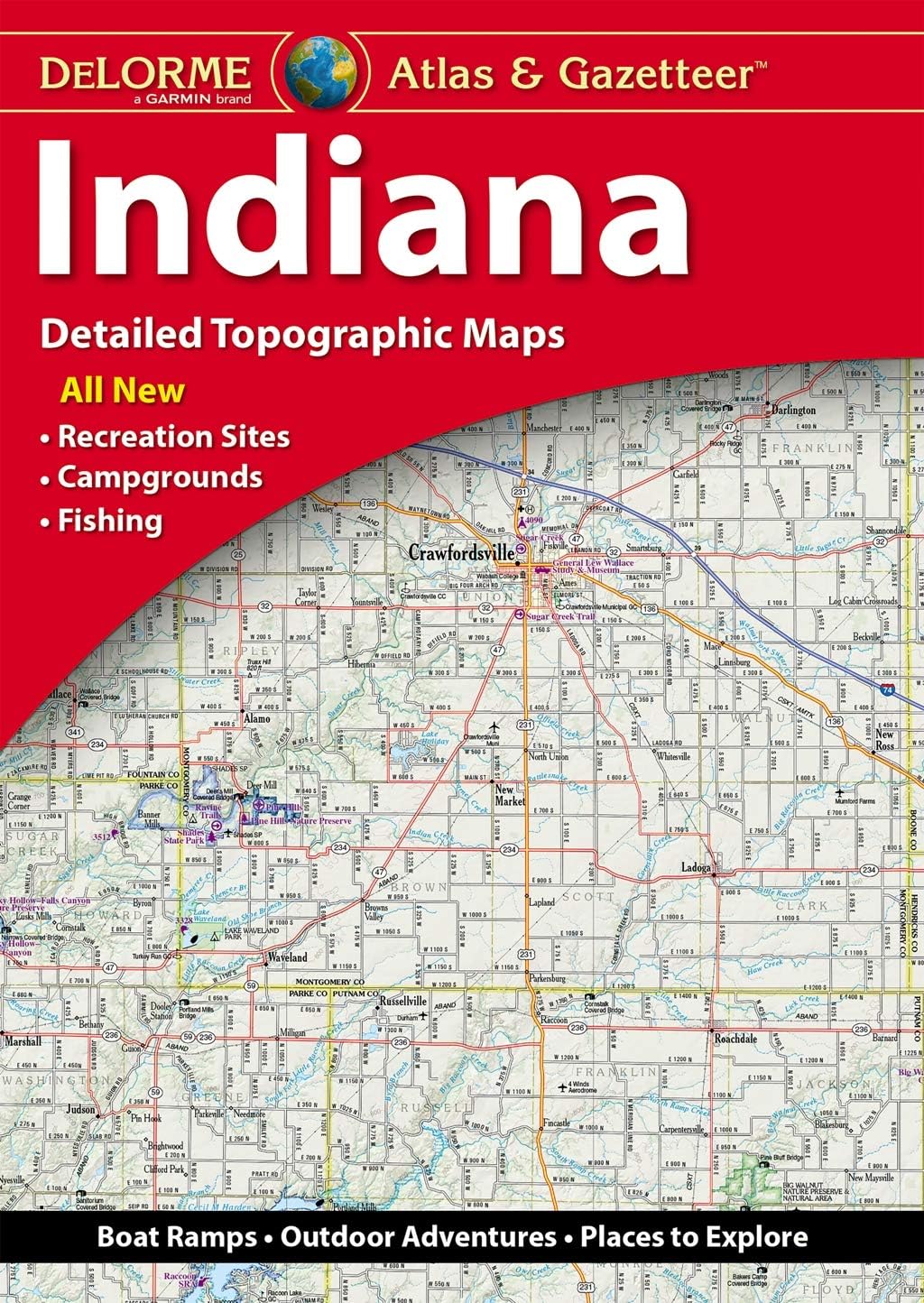
Book Synopsis: With an incredible wealth of detail, DeLorme's Atlas & Gazetteer is the perfect companion for exploring the Indiana outdoors.
Details
Are you an outdoor enthusiast? Look no further than the Delorme Indiana Atlas & Gazetteer Book. This comprehensive navigational guide is the perfect companion for exploring the great outdoors in Indiana. Whether you're interested in scenic drives, historic sites, or prime fishing spots, this book has it all. With full-color topographic maps and extensive indexing, you'll have all the information you need right at your fingertips. Don't miss out on the opportunity to make the most of Indiana's backcountry with this incredible resource.
What sets the Delorme Indiana Atlas & Gazetteer Book apart is its attention to detail. The full-color topographic maps provide a wealth of information, from cities and towns to trailheads and boat ramps. No matter where you want to go in Indiana, this book will help you get there. The handy latitude/longitude overlay grid for each map allows you to navigate with GPS, ensuring that you never get lost on your adventures. Plus, with inset maps provided for major cities and all state lands, you'll have everything you need to explore Indiana like a pro.
Don't miss out on the opportunity to discover Indiana's hidden gems. The Delorme Indiana Atlas & Gazetteer Book is your ticket to unforgettable adventures. Whether you're a seasoned explorer or a beginner looking to get started, this book is a must-have. It's time to grab your copy and start planning your next outdoor expedition. Click here to get yours now!
Discover More Best Sellers in Atlases & Maps
Shop Atlases & Maps
Rand McNally Folded Map: San Francisco Bay Area Regional Map

 Atlases & Maps - Rand McNally Folded Map: San Francisco Bay Area Regional Map

Rand McNally Folded Map: Minneapolis St. Paul Regional Map
Atlases & Maps - Rand McNally Folded Map: Minneapolis St. Paul Regional Map

Rand McNally Easy To Fold: Oklahoma State Laminated Map
Atlases & Maps - Rand McNally Easy To Fold: Oklahoma State Laminated Map

Rand McNally 2024 Deluxe Motor Carriers' Road Atlas (Rand McNally Motor Carriers' Road Atlas)
Atlases & Maps - Rand McNally 2024 Deluxe Motor Carriers' Road Atlas (Rand McNally Motor Carriers' Road Atlas)

Great Maps: The World's Masterpieces Explored and Explained (DK History Changers)
Atlases & Maps - Great Maps: The World's Masterpieces Explored and Explained (DK History Changers)

Bryce Canyon National Park Map (National Geographic Trails Illustrated Map, 219)
Atlases & Maps - Bryce Canyon National Park Map (National Geographic Trails Illustrated Map, 219)
![Atlases & Maps - Utah National Parks [Map Pack Bundle] (National Geographic Trails Illustrated Map)](https://m.media-amazon.com/images/I/41KfP6bvVkL._SL500_.jpg._AC_SL1500_.jpg)
Utah National Parks [Map Pack Bundle] (National Geographic Trails Illustrated Map)
Atlases & Maps - Utah National Parks [Map Pack Bundle] (National Geographic Trails Illustrated Map)