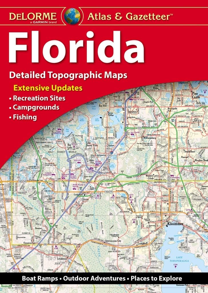
Features
Regularly updated, full-color maps
Clearly labeled Interstate, U.S., state, and county highways
40% larger map with a bigger type size than the Rand McNally Folded Map
Indications of county boundaries, schools, shopping malls, parks, golf courses, hospitals, airports, and points of interest
Mileage and driving times map
Detailed index
Copyright 2023
Coverage Area Detailed maps of: Bakersfield, Fresno, Joshua Tree National Park, Kings Canyon Natl Park & Sequoia Natl Park, Lake Tahoe Region, Lancaster/Palmdale, Los Angeles, Modesto, Monterey/Salinas, Oceanside, Oxnard/Ventura, Palm Springs, Sacramento, San Diego
Discover More Best Sellers in Reference
Shop Reference

Rand McNally Easy to Read: California State Map

 Reference - Rand McNally Easy to Read: California State Map

Rand McNally Easy to Read: Tennessee State Map
Reference - Rand McNally Easy to Read: Tennessee State Map

Auto Log Book (Mileage, Maintenance, and Expense Tracker)
Reference - Auto Log Book (Mileage, Maintenance, and Expense Tracker)


United States, Southwest Map (National Geographic Adventure Map, 3121)
Reference - United States, Southwest Map (National Geographic Adventure Map, 3121)

Dirty Spanish: Third Edition: Everyday Slang from "What's Up?" to "F*%# Off!"
Reference - Dirty Spanish: Third Edition: Everyday Slang from "What's Up?" to "F*%# Off!"