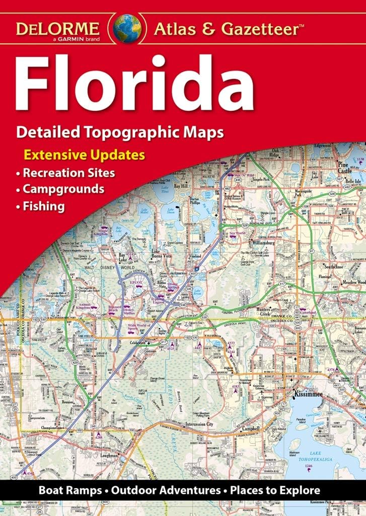
Features
Detail maps of major cities, a mileage chart, and a Mileages & Driving Times Map
Regularly updated, Full-color maps
Clearly labeled Interstate, U.S., state, and county highways
Indications of county boundaries, schools, shopping malls, parks, golf courses, hospitals, airports, and points of interest
Detailed index
Copyright 2021
Coverage Area Detailed maps of: Boulder, Colorado Springs, Denver & Vicinity, Downtown Denver, Fort Collins, Greeley, Mesa Verde National Park, Pueblo, Rocky Mountain National Park
Discover More Best Sellers in Atlases & Maps
Shop Atlases & Maps


Rand McNally Easy To Fold: Colorado State Laminated Map
 Atlases & Maps - Rand McNally Easy To Fold: Colorado State Laminated Map

Rand McNally 2024 Deluxe Motor Carriers' Road Atlas (Rand McNally Motor Carriers' Road Atlas)
Atlases & Maps - Rand McNally 2024 Deluxe Motor Carriers' Road Atlas (Rand McNally Motor Carriers' Road Atlas)

Acadia National Park Map (National Geographic Trails Illustrated Map, 212)
Atlases & Maps - Acadia National Park Map (National Geographic Trails Illustrated Map, 212)
![Atlases & Maps - Tuscany Map [Italy] (National Geographic Adventure Map, 3305)](https://images-na.ssl-images-amazon.com/images/I/81e65OMVKsL._AC_SL1500_.jpg)
Tuscany Map [Italy] (National Geographic Adventure Map, 3305)
Atlases & Maps - Tuscany Map [Italy] (National Geographic Adventure Map, 3305)
![Atlases & Maps - Sicily Map [Italy] (National Geographic Adventure Map, 3310)](https://m.media-amazon.com/images/I/51BgDnbdeaL._SL500_.jpg._AC_SL1500_.jpg)
Sicily Map [Italy] (National Geographic Adventure Map, 3310)
Atlases & Maps - Sicily Map [Italy] (National Geographic Adventure Map, 3310)
![Atlases & Maps - Appalachian Trail: Georgia, North Carolina, Tennessee [Map Pack Bundle] (National Geographic Trails Illustrated Map)](https://images-na.ssl-images-amazon.com/images/I/910elKtNUiL._AC_SL1500_.jpg) Atlases & Maps - Appalachian Trail: Georgia, North Carolina, Tennessee [Map Pack Bundle] (National Geographic Trails Illustrated Map)
Atlases & Maps - Appalachian Trail: Georgia, North Carolina, Tennessee [Map Pack Bundle] (National Geographic Trails Illustrated Map)