

Description
Book Synopsis: Rand McNally's folded map for North Carolina is a must-have for anyone traveling in or through the state, offering unbeatable accuracy and reliability at a great price. Our trusted cartography shows all Interstate, U.S., state, and county highways and much more.
- Points of interest.
- State park chart.
- State mileage chart.
- Driving times map.
- On-the-road toolbox.
- Visitor center information.
- Climate data.
- State facts & symbols.
- Easy-to-use legend.
- Detailed indexed.
Coverage Area: Detailed maps include Asheville, Charlotte, Fayetteville, Gastonia, Great Smoky Mountains National Park, Raleigh/Durham/Chapel Hill, Wilmington, Winston-Salem/Greensboro/High Point.
Product Details: Measures 9.0" x 4.125" and folds out to 25.5" x 36.75"
Read more
Details
When it comes to traveling in or through North Carolina, you need a reliable and accurate map. That's where Rand McNally's Easy To Read Folded Map comes in. With unbeatable accuracy and reliability at a great price, this map is a must-have for any traveler in the state. Our trusted cartography includes all Interstate, U.S., state, and county highways, so you can navigate with confidence.
But this map is more than just roads. It also includes valuable information that will enhance your travel experience. Discover points of interest, state parks, and driving times with ease. Need information on visitor centers or climate data? It's all here. Plus, our easy-to-use legend and detailed indexing make finding what you need a breeze.
Whether you're exploring the bustling streets of Charlotte, the natural beauty of the Great Smoky Mountains National Park, or the vibrant cities of Raleigh, Durham, and Chapel Hill, Rand McNally has you covered. Our detailed maps include all the major cities and regions, ensuring you won't miss a thing.
Measuring a convenient 9.0" x 4.125" when folded and expanding to a spacious 25.5" x 36.75" when unfolded, this map is easy to carry and use on the go. Don't let unreliable GPS or outdated maps ruin your travel plans. Get the Rand McNally Easy To Read Folded Map and experience North Carolina like never before.
Ready to start exploring? Get your Rand McNally Easy To Read Folded Map today and embark on your next adventure. Click here to purchase now!
Discover More Best Sellers in United States
Shop United States
The Living Great Lakes: Searching for the Heart of the Inland Seas
 United States - The Living Great Lakes: Searching for the Heart of the Inland Seas


 United States - The New York Times Sunday Crossword Omnibus Volume 11: 200 World-Famous Sunday Puzzles from the Pages of The New York Times

Very Charleston: A Celebration of History, Culture, and Lowcountry Charm
United States - Very Charleston: A Celebration of History, Culture, and Lowcountry Charm

Guadalupe Mountains National Park Map (National Geographic Trails Illustrated Map, 203)
United States - Guadalupe Mountains National Park Map (National Geographic Trails Illustrated Map, 203)

Wisconsin Supper Clubs: An Old-Fashioned Experience
United States - Wisconsin Supper Clubs: An Old-Fashioned Experience
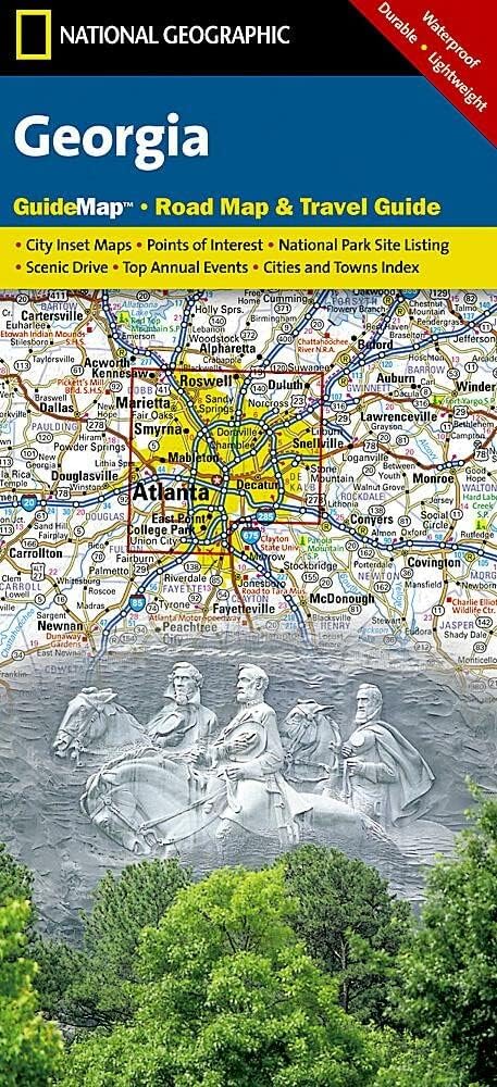
Georgia Map (National Geographic Guide Map)
United States - Georgia Map (National Geographic Guide Map)
 United States - If These Walls Could Talk: Boston Bruins: Stories from the Boston Bruins Ice, Locker Room, and Press Box

