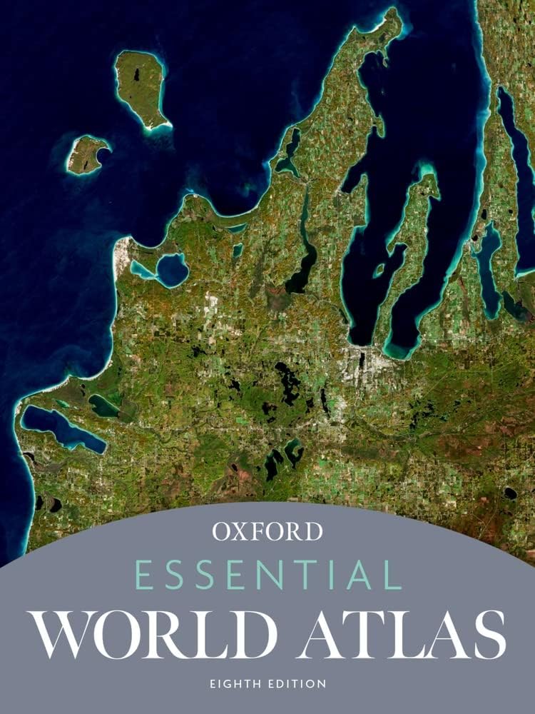

Description
Book Synopsis: With superbly crafted maps covering the entire globe, this new edition of Oxford's Essential World Atlas offers thorough geographical coverage at an affordable price. In addition to topographic and political maps, city maps, and satellite imagery, the Essential Atlas features dozens of thematic maps, charts, and graphs that explain many fundamental concepts in human geography. The new Eighth Edition has been updated to show the latest transportation information, administrative boundary changes, new flags, name changes, national parks, major tourist sites, and historical places of interest.
The Essential World Atlas is packed with information, including statistics on the area, population, and annual income of every country in the world. Metro maps of 70 cities provide detailed information on tourist sites, transportation hubs, and other aspects of interest to the traveler. Enhancing its utility, the maps are fully indexed, allowing for quick reference. The atlas also features a selection of stunning satellite images that provide an impression of our world from above, offering insight into how cities expand and rivers create life in the desert, with cities including Canberra, Kingston, Philadelphia, Shanghai, Tehran, Toronto, and Venice.
Finally, the atlas includes a thematic "World in Focus" section, with maps and diagrams exploring topics such as Climate, Energy, Oceans, Population, Travel and Tourism, and Quality of Life. Meticulously crafted and thoroughly updated, the Eighth Edition of Oxford's Essential World Atlas is an indispensable resource for students, teachers, armchair travelers, tourists, and anyone else curious about all corners of the globe.
Details
Discover the world like never before with Oxford's Essential World Atlas. Packed with meticulous geographical coverage and stunning visuals, this Eighth Edition offers an unbeatable resource at an affordable price. Whether you're a student, teacher, traveler, or simply curious about our planet, this atlas is a must-have.
Featuring topographic and political maps, city maps, and satellite imagery, the Essential World Atlas provides comprehensive information on our ever-changing world. And that's not all - delve deeper with dozens of thematic maps, charts, and graphs that explore fundamental concepts in human geography. From transportation information to national parks, from major tourist sites to historical places of interest, this atlas has it all.
What sets this edition apart from the rest is its up-to-date content. You'll find the latest administrative boundary changes, new flags, updated name changes, and more. Be amazed by the stunning satellite images that give you a bird's-eye view of cities like Shanghai, Tehran, and Toronto, showcasing how urban landscapes evolve and rivers breathe life into deserts.
Need quick reference? No problem. With fully indexed maps, finding your way around is a breeze. Metro maps of 70 cities provide detailed information on must-visit tourist sites, transportation hubs, and other points of interest. Plus, with statistics on area, population, and annual income for every country, you'll have a wealth of knowledge at your fingertips.
But that's not all. The Essential World Atlas goes beyond the expected with a thematic "World in Focus" section. Dive into maps and diagrams exploring topics such as Climate, Energy, Oceans, Population, Travel and Tourism, and Quality of Life. Gain a deeper understanding of our planet and its interconnectedness.
Don't miss out on this indispensable resource. Experience the world in all its splendor with the Eighth Edition of Oxford's Essential World Atlas. Order your copy today and embark on a journey like no other. Order now.
Discover More Best Sellers in Reference
Shop Reference
English for Everyone Course Book Level 2 Beginner: A Complete Self-Study Program
 Reference - English for Everyone Course Book Level 2 Beginner: A Complete Self-Study Program

Merriam-Webster’s Student Atlas - Features Full-Color Physical, Political, & Thematic Maps
 Reference - Merriam-Webster’s Student Atlas - Features Full-Color Physical, Political, & Thematic Maps

National Geographic Guide to State Parks of the United States, 5th Edition
Reference - National Geographic Guide to State Parks of the United States, 5th Edition


South Africa Map (National Geographic Adventure Map, 3204)
Reference - South Africa Map (National Geographic Adventure Map, 3204)
 Reference - Map Reading And Land Navigation - FM 3-25.26 US Army Field Manual FM 21-26 (2001 Civilian Reference Edition): Unabridged Manual On Map Use, ... Release) (Military Outdoors Skills Series)

Lonely Planet Experience Costa Rica 1 (Travel Guide)
Reference - Lonely Planet Experience Costa Rica 1 (Travel Guide)

Delorme Atlas & Gazetteer Michigan (Delorme Michigan Atlas and Gazeteer)
Reference - Delorme Atlas & Gazetteer Michigan (Delorme Michigan Atlas and Gazeteer)
